In the wake of devastating earthquakes, rapid and coordinated rescue efforts are critical. Now, artificial intelligence is playing a pivotal role in improving disaster response. NASA, Microsoft, and the European Union (EU) have deployed advanced AI-powered technologies to enhance earthquake rescue operations in Venezuela, demonstrating how cutting-edge tools can save lives and accelerate recovery.
NASA Disaster Mapping
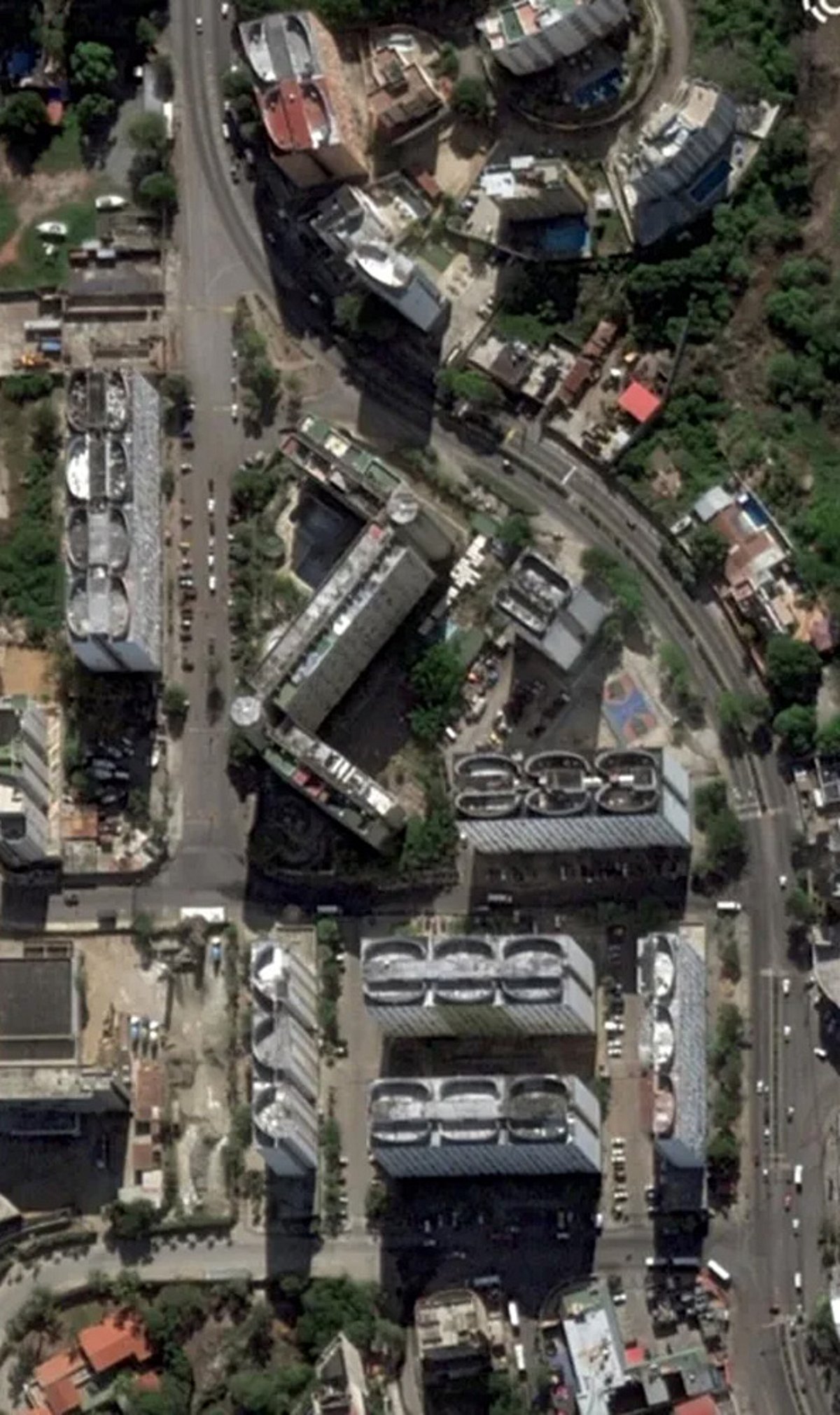
NASA uses satellite imagery combined with AI to quickly identify damaged areas, blocked roads, and priority rescue zones after an earthquake. This technology enables responders to pinpoint where help is needed most, reducing time spent on manual assessment.
Microsoft AI Cloud and Copilot for Relief Teams
Microsoft AI Cloud offers cloud-powered analytics that rapidly process disaster data, helping rescue coordinators manage teams and allocate resources efficiently. Additionally, AI assistants called Copilot summarize incoming reports, organize emergency information, and cut response times during critical operations.
EU Copernicus Programme
The EU’s Copernicus Programme delivers satellite-based emergency mapping, providing authorities with accurate assessments of earthquake-affected communities and infrastructure damage. This supports informed decision-making for both immediate rescue and long-term rebuilding.
AI Damage Assessment
Computer vision algorithms analyze aerial imagery to estimate structural destruction and identify buildings requiring immediate search and rescue operations. This allows teams to prioritize the most dangerous sites first.
Predictive Risk Models
Machine learning models forecast aftershock risks and potential hazard zones, improving responder safety and evacuation planning during emergencies. By predicting where the next threat may emerge, teams can act proactively.
Drone Surveillance Systems
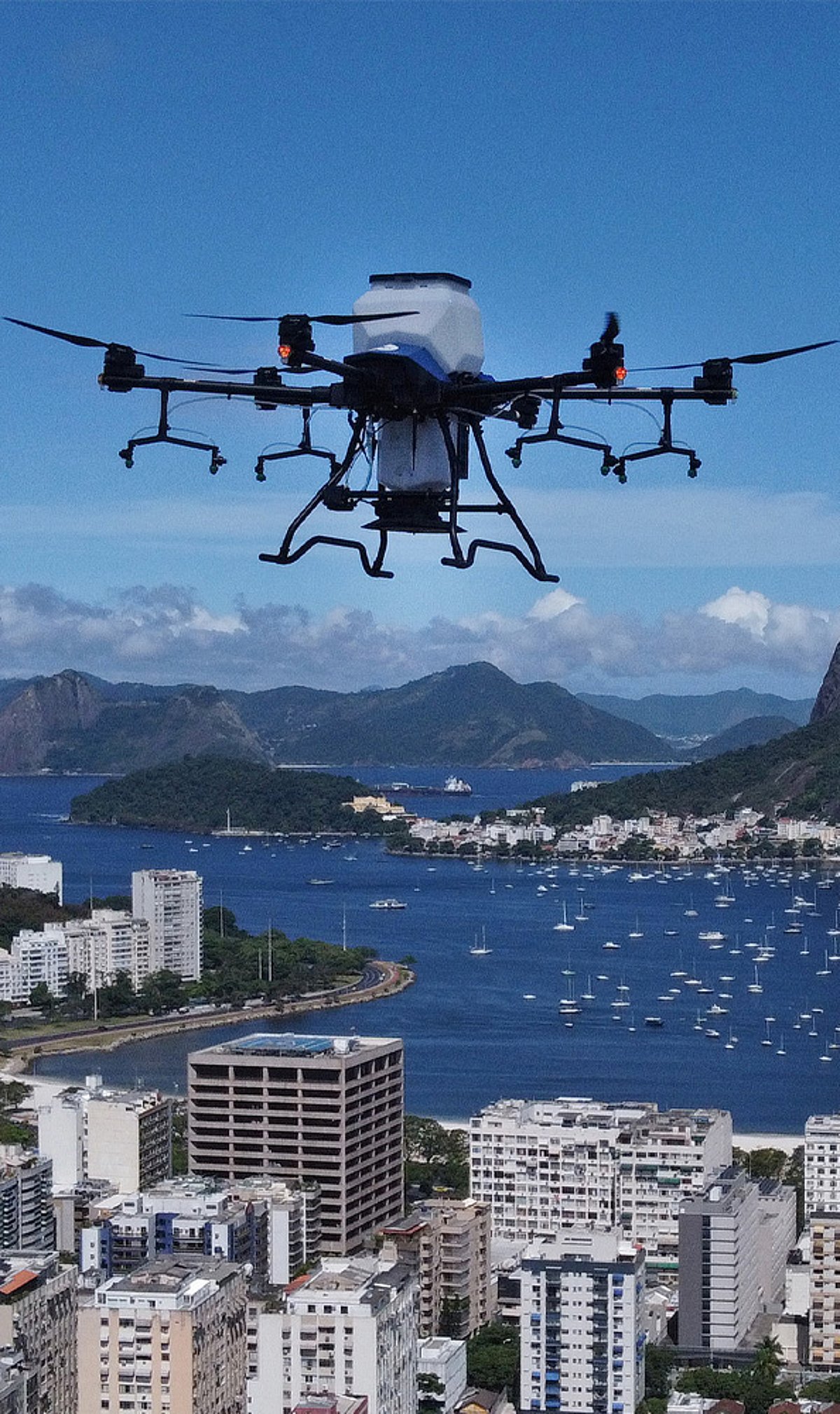
AI-powered drones capture real-time visuals, locate survivors, and inspect areas inaccessible to ground rescue personnel. These drones extend the reach of rescue teams, covering dangerous terrain without putting more lives at risk.
Multilingual Communication Tools
AI translation tools enable faster communication between international rescue agencies, volunteers, and affected local communities. Breaking language barriers ensures that critical information flows smoothly across all parties involved in the response.
Future Emergency Collaboration
Partnerships between governments, technology firms, and humanitarian agencies are expanding AI-powered disaster preparedness and rescue capabilities. The collaboration between NASA, Microsoft, and the EU in Venezuela serves as a model for future joint efforts to use AI for global good.