
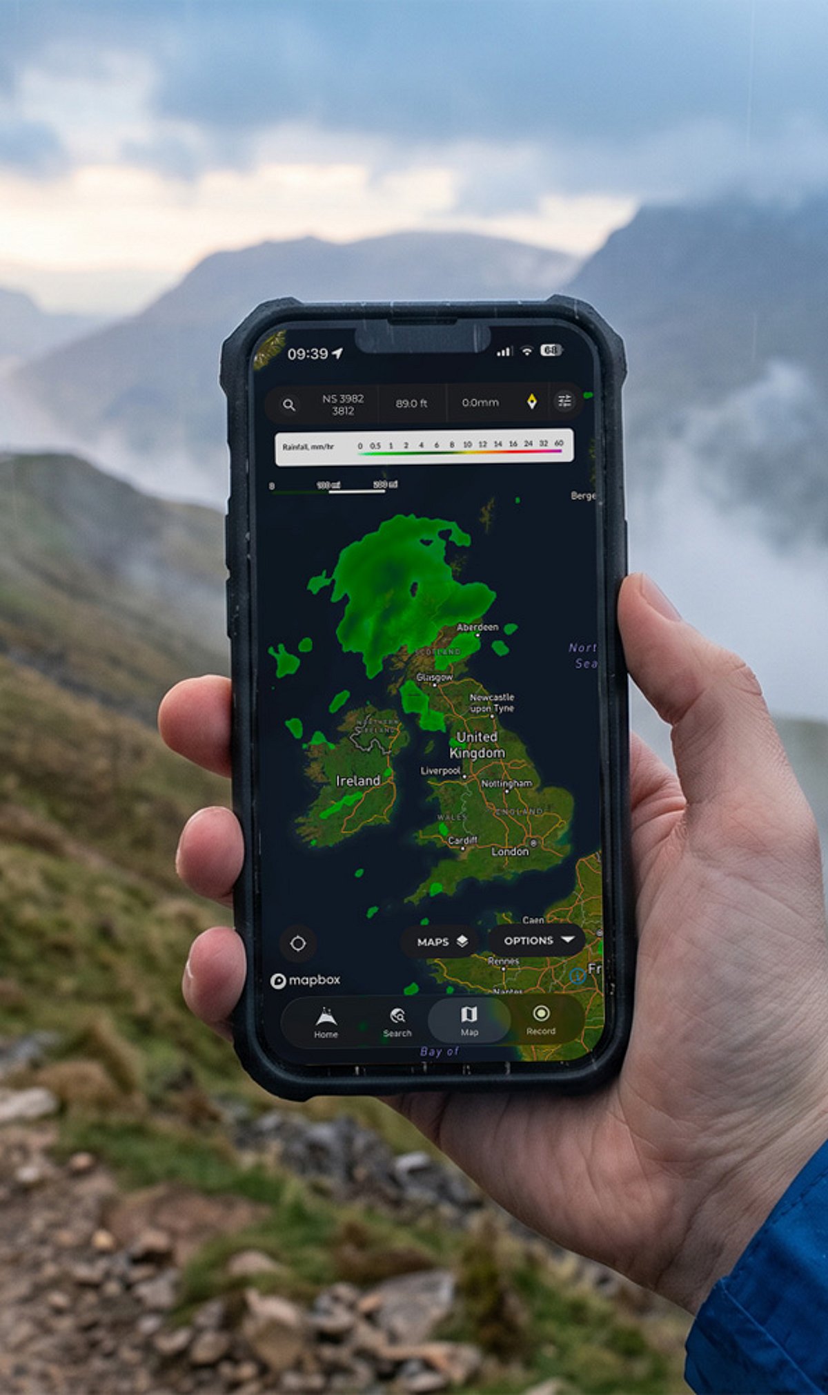
Planning a hike in 2026? The best hiking navigation apps now offer more than just maps — they provide real-time GPS tracking, offline access, and critical trail details that can keep you safe and on track. Whether you’re a day hiker or a thru-hiker, the right app makes all the difference. Here’s our guide to the top navigation tools for exploring the outdoors this year.
AllTrails – Best for Trail Discovery
AllTrails remains the go-to app for popular day hikes and well-trafficked paths. It features a massive database of trail maps, user reviews, photos, and GPS tracking. Upgrading to the paid version unlocks offline maps, making it a solid choice for casual adventurers who want to explore new routes with confidence.
Komoot – Best for Route Planning
Komoot excels for walking, hiking, and cycling trips. Its turn-by-turn voice guidance, elevation profiles, and offline maps help you plan detailed routes. Whether you’re heading out for a few hours or a multi-day trek, Komoot’s smart routing adapts to your preferred activity.
Gaia GPS – Best for Backcountry Hiking
For serious outdoor navigation, Gaia GPS delivers topographic and satellite maps, offline support, waypoints, and multiple map layers. It’s designed for remote areas where reliable cellular signals are scarce, making it a favorite among backcountry explorers and wilderness trekkers.
FarOut – Best for Thru-Hikes
Formerly known as Guthook, FarOut is tailored for long-distance trails like the Appalachian Trail and Pacific Crest Trail. Its detailed guides highlight water sources, campsites, resupply points, and other essential waypoints, giving thru-hikers everything they need to plan and execute extended journeys.
onX Backcountry – Best for Understanding Land Boundaries
onX Backcountry combines offline mapping with public and private land boundaries. This is invaluable when planning remote trips where land ownership can be confusing. Hikers can avoid trespassing and find legal access points with confidence.
CalTopo and Avenza Maps – Best for Detailed Maps
For advanced route planning, CalTopo offers terrain layers, custom map creation, and powerful analysis tools. Avenza Maps allows users to load georeferenced PDF maps for offline navigation. Both are excellent for those who want fine-grained control over their mapping data.
Essential Safety Tips
- Download maps before you leave: Mobile signals can disappear on remote trails. Always save offline maps in advance.
- Carry a power bank: Battery life drains fast in the wild. A portable charger ensures your device stays powered.
- Bring a physical backup: A paper map and compass remain the most reliable fallback if technology fails.
How to Choose the Right App for Your Hike
- Day hikes on popular trails: Use AllTrails for ease and community insights.
- Guided routes: Go with Komoot for voice navigation and elevation data.
- Backcountry trips: Gai GPS offers the best topographic coverage and offline reliability.
- Thru-hikes: FarOut is unmatched for long-distance trail logistics.
Always double-check trail conditions and official sources before heading out. With the right app and proper preparation, your hikes in 2026 will be safer and more enjoyable.